


Digital Maps Market Size & Growth Forecast 2027–2036, By Segments (Type, Services, Usage, Application), Regional Demand Trends (North America, Asia Pacific, Europe), Key Country Insights (U.S., Japan, South Korea, Germany, France, Italy), and Competitive Landscape
Market Size and Growth Outlook
Digital Maps Market size was valued at USD 36.1 Billion in 2026 and is projected to grow at a 11.02% CAGR from 2027 to 2036, reaching USD 102.69 Billion by 2036. The industry revenue for 2027 is estimated at USD 39.45 Billion.
Base Year Value (2026)
USD 36.1 Billion
CAGR (2027-2036)
11.02%
Forecast Year Value (2036)
USD 102.69 Billion

Historical Data Period
2022-2026

Largest Region
North America

Forecast Period
2027-2036
Digital Maps Market Intelligence Snapshot:
-
Regional Market Dynamics:
- North America leads with 36.04% share due to a mature location-data ecosystem, deep integration across navigation, logistics, ride-hailing, and strong infrastructure enabling real-time mapping updates.
- Asia Pacific is expanding at 17.7% CAGR, driven by mobile-first services, dense urbanization, rising e-commerce and on-demand apps, and increasing demand for frequently refreshed mapping data.
-
Segment Momentum:
- Outdoor Maps accounted for 79.8% of the market in 2026 due to widespread use in navigation, route planning, location search, and mobility applications that generate consistently high mapping demand across consumer and enterprise environments.
- Consulting is growing fastest because organizations increasingly seek guidance on deployment strategies, architecture decisions, and use-case alignment before investing in mapping implementations and long-term operational optimization.
-
Market Expansion Drivers:
- Growing smartphone penetration accelerating adoption of navigation and location-based digital mapping applications.
- Increasing deployment of ADAS and autonomous vehicle technologies driving high-definition mapping demand.
- Rising drone and satellite-based earth observation improving precision geospatial data collection capabilities.
-
Leading Market Participants:
Key players in the digital maps market include Esri Inc. (USA), Google LLC (USA), HERE Technologies (Netherlands), TomTom International B.V. (Netherlands), Apple Inc. (USA), Microsoft Corporation (USA), Mapbox, Inc. (USA), Baidu, Inc. (China), DigitalGlobe, Inc. (USA), Uber Technologies, Inc. (USA).
Global Market Forecast Snapshot:
-
Market Outlook:
- 2026 Market Size: USD 36.1 Billion
- 2027 Estimated Market Size: USD 39.45 Billion.
- Projected Market Size: USD 102.69 Billion by 2036
- Growth Forecasts: 11.02% CAGR (2027-2036)
-
Regional and Segment Outlook:
- Leading Regional Market: North America
- High-Growth Regional Hub: Asia Pacific
- Core Revenue Segment: Outdoor Maps (Type) | Development (Services) | Navigation (Usage) | Automotive (Application)
- Emerging Opportunity Segment: Indoor Maps (Type) | Consulting (Services) | Navigation (Usage) | Government and Defense (Application)
Market Growth Drivers and Industry Trends
Growing smartphone penetration accelerating adoption of navigation and location-based digital mapping applications
The widespread use of smartphones will drive the digital maps market growth by making navigation, location search, route planning, and other geospatial services accessible to a broad range of consumers and businesses. Mobile devices increasingly rely on mapping applications for everyday activities such as commuting, travel planning, local discovery, and delivery coordination, while location-aware services use mapping data to provide more personalized digital experiences. Improvements in mobile connectivity, GPS capabilities, and application integration are also enabling maps to deliver real-time traffic information, nearby points of interest, and dynamic route recommendations, increasing the frequency with which users interact with digital mapping platforms.
Increasing deployment of ADAS and autonomous vehicle technologies driving high-definition mapping demand
Growing adoption of advanced driver assistance systems and autonomous driving technologies is creating strong demand in the digital maps market for highly detailed and continuously updated geospatial information. ADAS functions and automated driving systems require accurate representations of road geometry, lane configurations, traffic infrastructure, elevation, and other environmental characteristics to support navigation and vehicle decision-making. High-definition maps can provide vehicles with a detailed digital representation of road environments that complements information collected through onboard sensors. As automotive systems become more dependent on precise location and road intelligence, mapping providers are developing richer datasets and update mechanisms suited to increasingly automated transportation applications.
Rising drone and satellite-based earth observation improving precision geospatial data collection capabilities
The expanding use of drones and satellite-based earth observation technologies is enhancing the digital maps market by providing increasingly detailed and frequently updated sources of geospatial information. Aerial platforms can capture high-resolution imagery and terrain data for applications such as land surveying, infrastructure assessment, environmental monitoring, agriculture, and urban planning. Satellite observations further support large-scale mapping by enabling coverage of geographically dispersed or difficult-to-access areas. Advances in remote sensing, image processing, and geospatial analytics allow these data sources to be converted into more precise mapping layers, digital terrain models, and location intelligence datasets.
| Growth Driver Assessment Framework | |||||
| Growth Driver | Impact On CAGR | Regulatory Influence | Geographic Relevance | Adoption Rate | Impact Timeline |
|---|---|---|---|---|---|
| Growing smartphone penetration accelerating adoption of navigation and location-based digital mapping applications | 2.00% | Moderate | Asia Pacific, North America | High | Near Term |
| Increasing deployment of ADAS and autonomous vehicle technologies driving high-definition mapping demand | 1.90% | Moderate | North America, Europe | High | Mid Term |
| Rising drone and satellite-based earth observation improving precision geospatial data collection capabilities | 1.50% | Moderate | Europe, Asia Pacific | Emerging | Long Term |
Unlock insights tailored to your business with our bespoke market research solutions - Click to get your customized report now!
Regional Demand Dynamics
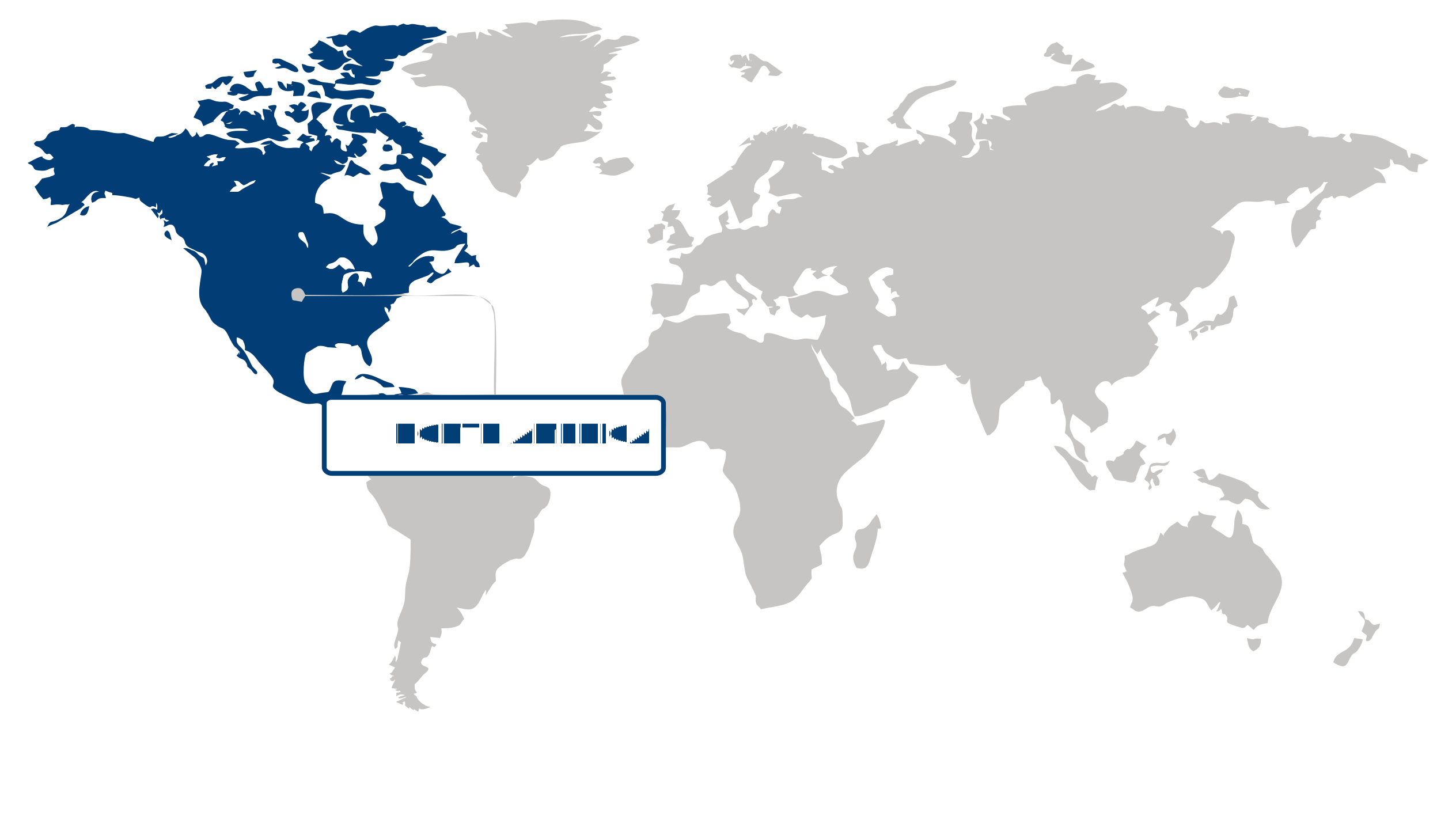
Largest Region
North America
36.04% Market Share in 2026
North America (Largest Region) vs Asia Pacific (Fastest-Growing Region)
North America dominated the digital maps market, accounting for a 36.04% share in 2026, supported by extensive digital infrastructure, high adoption of location-based technologies, and widespread integration of mapping services across transportation, logistics, retail, travel, and enterprise applications. The region’s mature technology ecosystem enables organizations to use digital maps for route optimization, navigation, asset tracking, location intelligence, and customer engagement. Strong demand for real-time geographic information is further reinforced by connected vehicles, smart mobility initiatives, and the growing use of geospatial analytics in business decision-making. Continued investment in digital infrastructure and the integration of mapping capabilities with cloud platforms and connected devices are strengthening the role of digital maps across commercial and public-sector applications.
Asia Pacific is the fastest-growing region, driven by rapid urbanization, expanding transportation networks, increasing smartphone adoption, and accelerating digital transformation across emerging economies. Growing populations and complex urban environments are creating greater demand for accurate navigation, location-based services, and geospatial information for mobility and logistics applications. The expansion of e-commerce and on-demand services is also increasing the importance of precise mapping for delivery optimization and location-based customer interactions. Meanwhile, smart city development and investments in connected infrastructure are encouraging broader deployment of digital mapping technologies, creating a strong foundation for continued regional adoption.
Key Country Insights
The U.S. digital maps market is shaped by demand for highly accurate geospatial data across mobility, logistics, retail, and autonomous technologies. Organizations in the U.S. prioritize real-time mapping platforms that support navigation, asset management, and location-based decision-making.
Japan continues advancing digital maps for urban mobility, intelligent navigation, and connected infrastructure. Organizations in Japan focus on high-resolution mapping solutions that improve routing accuracy while supporting automated mobility services and digital city initiatives.
South Korea prioritizes digital mapping technologies that strengthen connected mobility and location-enabled digital services. Companies in South Korea invest in dynamic mapping capabilities that enhance navigation performance, real-time updates, and integration with smart infrastructure ecosystems.
Germany emphasizes digital maps that support connected mobility, manufacturing logistics, and intelligent transportation systems. Businesses in Germany increasingly integrate high-precision mapping data with enterprise applications to improve operational coordination and infrastructure planning.
France is expanding the use of digital maps for transportation management, municipal planning, and commercial location services. Organizations in France value interoperable geospatial platforms that improve operational visibility while supporting digital public infrastructure and mobility applications.
Italy focuses on digital maps that improve route planning, fleet operations, and location-aware business services. Enterprises in Italy increasingly deploy mapping platforms that enhance delivery efficiency and strengthen spatial analysis across transportation and commercial operations.
Segment Leadership and Growth Trends
Type Segment Analysis: Outdoor Maps (Largest Segment) vs Indoor Maps (Fastest-Growing Segment)
Outdoor maps segment dominated the digital maps market, holding a 79.8% share in 2026. Its substantial position reflects the broad dependence on digital mapping for navigation, route planning, location-based services, transportation, and geographic information applications. The expansion of digitally connected mobility and the increasing use of location-aware applications continue to sustain demand for detailed and frequently updated outdoor geographic information. Businesses and consumers alike rely on these mapping capabilities to improve navigation accuracy, optimize movement, and access location-based information.
Indoor maps is anticipated to experience the fastest growth as organizations increasingly seek precise digital navigation within complex indoor environments such as commercial facilities, transportation hubs, healthcare facilities, and large public spaces. Indoor mapping can improve wayfinding, asset visibility, facility management, and user experiences where conventional outdoor navigation tools have limited effectiveness. Growing adoption of location-aware technologies and the need for more seamless transitions between outdoor and indoor navigation are creating additional opportunities for indoor mapping solutions.
Services Segment Analysis: Development (Largest Segment) vs Consulting (Fastest-Growing Segment)
Development services held the largest share of the digital maps market, accounting for 67.9% in 2026. The segment benefits from the increasing need to create, customize, update, and integrate digital mapping platforms for diverse applications and operating environments. Organizations require specialized development capabilities to build mapping interfaces, connect geographic datasets, and incorporate mapping functionality into digital products and enterprise systems. The growing complexity of location-based applications is therefore sustaining demand for development expertise that can deliver reliable and application-specific mapping solutions.
Consulting services are expected to grow at the fastest pace as organizations increasingly seek strategic guidance on selecting, deploying, integrating, and optimizing digital mapping technologies. As location intelligence becomes more closely connected with operational planning and customer-facing applications, businesses require specialized expertise to determine how mapping capabilities can best support their objectives. Consulting services can also help organizations navigate technology choices, data integration requirements, and implementation strategies, strengthening their role as digital mapping adoption expands.
| Report Segmentation | |||
| Segment | Sub-Segment | Largest Segment | Fastest Growing Segment |
|---|---|---|---|
| Type | Indoor Maps, Outdoor Maps | Outdoor Maps | Indoor Maps |
| Services | Consulting, Development, Support and Maintenance | Development | Consulting |
| Usage | Navigation, Geocoding, Thematic Mapping, Others | Navigation | Navigation |
| Application | Automotive, Real Estate, Government and Defense, Logistics, Others | Automotive | Government and Defense |
 Read our Research Approach
Competitive Landscape and Market Positioning
Top players in the digital maps market:
1. Esri Inc. (USA)
2. Google LLC (USA)
3. HERE Technologies (Netherlands)
4. TomTom International B.V. (Netherlands)
5. Apple Inc. (USA)
6. Microsoft Corporation (USA)
7. Mapbox Inc. (USA)
8. Baidu Inc. (China)
9. DigitalGlobe Inc. (USA)
10. Uber Technologies Inc. (USA)
The digital maps market is evolving rapidly with growing demand for accurate geospatial data, live navigation services, and connected mobility solutions. Technology providers are enhancing mapping platforms through AI-driven route optimization, augmented reality navigation, and real-time traffic analytics. Expanding applications across autonomous vehicles, logistics, and smart city projects are further driving the digital maps market.
Industry Development/News
| Company Name | Date | Key Development |
|---|---|---|
| Mappedin | Apr-26 | Mappedin secured $24.5 million in growth equity financing led by Edison Partners. The capital is designated for expanding the company’s indoor digital mapping platform, enhancing product feature sets, and scaling deployments across commercial environments that require sophisticated spatial navigation and data-driven mapping solutions. |
| Niantic Spatial | Mar-26 | Niantic Spatial is utilizing user-generated data from Pokémon Go to train AI-powered GPS systems specifically for robotics. This initiative improves geospatial intelligence models, enabling more accurate navigation for delivery robotics and advanced real-world positioning systems through the application of large-scale spatial datasets. |
| HERE | Jul-25 | HERE expanded its collaboration with BMW to integrate AI-enabled, lane-level mapping capabilities into automotive systems. By supporting Level 2+/3 autonomous driving through enhanced navigation accuracy and real-time road context, the partnership reinforces HERE’s position as a foundational provider of infrastructure for advanced driver-assistance and autonomous vehicle functionality. |
| BlackSky | Jun-25 | BlackSky introduced its AROS high-cadence wide-area search satellite constellation to supplement its existing Gen-3 optical imagery network. This expansion significantly increases imaging frequency and coverage, bolstering the company’s competitive capability in providing real-time geospatial intelligence and satellite-based digital mapping analytics services. |
| Gebeta Maps | Mar-25 | Gebeta Maps launched independent map tiles as part of a strategic effort to bolster its digital mapping infrastructure within Africa. This initiative allows the company to exert greater control over mapping data layers and facilitates the provision of more localized, scalable navigation services tailored to the regional geospatial ecosystem. |
| TomTom International B.V. | Nov-22 | TomTom launched its integrated geospatial data ecosystem, designed to aggregate map information from diverse global sources, including OpenStreetMap, sensor-derived vehicle observations, and shared points of interest. The platform enables the continuous generation of a comprehensive base map, reflecting a strategic shift toward crowd-sourced and sensor-fed data architecture for real-time map updates. |
| Attractions.io | Apr-24 | Attractions.io introduced a multi-level indoor mapping feature for its visitor application platform. This development enhances indoor spatial visualization, enabling sophisticated location-based navigation within complex built environments and broadening the company’s service offering for venue management and enhanced visitor navigation experiences. |
Why Choose Us
Specialized Expertise: Our team comprises industry experts with a deep understanding of your market segment. We bring specialized knowledge and experience that ensures our research and consulting services are tailored to your unique needs.
Customized Solutions: We understand that every client is different. That's why we offer customized research and consulting solutions designed specifically to address your challenges and capitalize on opportunities within your industry.
Proven Results: With a track record of successful projects and satisfied clients, we have demonstrated our ability to deliver tangible results. Our case studies and testimonials speak to our effectiveness in helping clients achieve their goals.
Cutting-Edge Methodologies: We leverage the latest methodologies and technologies to gather insights and drive informed decision-making. Our innovative approach ensures that you stay ahead of the curve and gain a competitive edge in your market.
Client-Centric Approach: Your satisfaction is our top priority. We prioritize open communication, responsiveness, and transparency to ensure that we not only meet but exceed your expectations at every stage of the engagement.
Continuous Innovation: We are committed to continuous improvement and staying at the forefront of our industry. Through ongoing learning, professional development, and investment in new technologies, we ensure that our services are always evolving to meet your evolving needs.
Value for Money: Our competitive pricing and flexible engagement models ensure that you get maximum value for your investment. We are committed to delivering high-quality results that help you achieve a strong return on your investment.
Select Licence Type